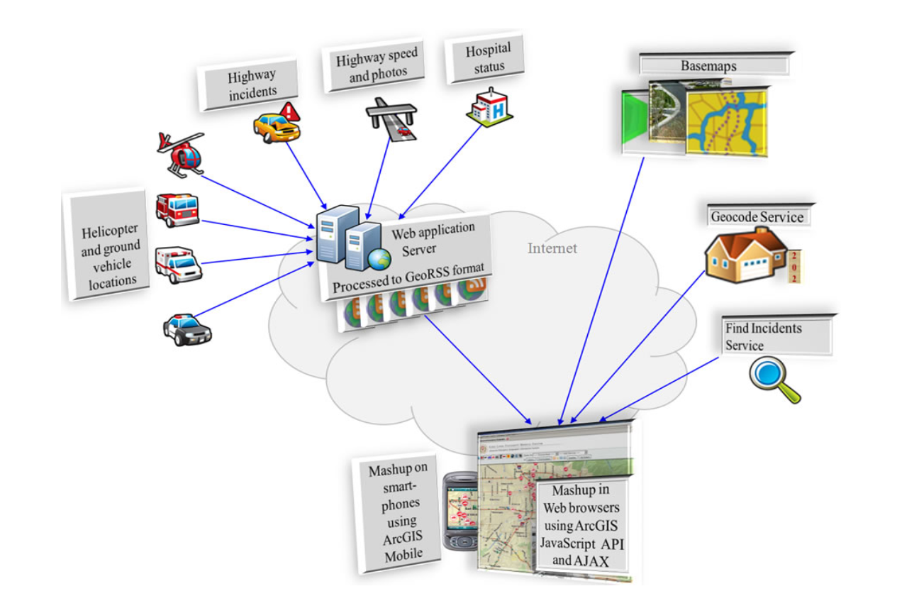
The company offers services in management and information system for both spatial and non-spatial data.
Geographical Information System (GIS)
Geoplan’s GIS Department offers a wide variety of GIS services to meet the needs of the Clients. Geoplan provides complete GIS Mapping services. Our diverse experience and teamwork combined with the most current technology allows us to provide specialized enterprise-wide solutions for our clients.
Remote Sensing
Geoplan provides the best products from remotely sensed data. Satellite images like Landsat TM, NOAA/AVHRR are processed using ILWIS and ERDAS imagine Software for mapping of the land cover & studying vegetation. We use Quick bird satellite images for studying urban growth and management of settlements.

