

market, in Land Surveying, Gis & Mapping Services, Construction
We specialize in delivering comprehensive civil works solutions that support infrastructure development, environmental sustainability, and economic growth across Tanzania.
At GEOPLAN (EA) Ltd., we specialize in delivering comprehensive civil works solutions that support infrastructure development, environmental sustainability, and economic growth across East Africa.
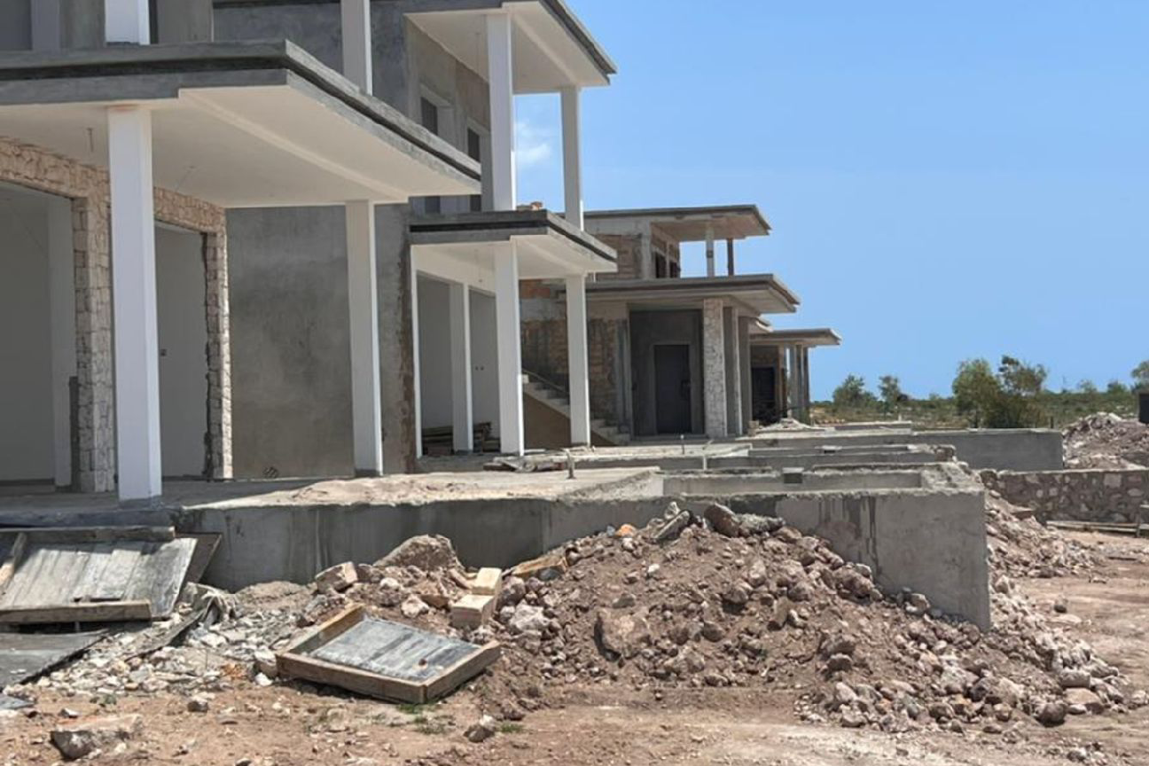
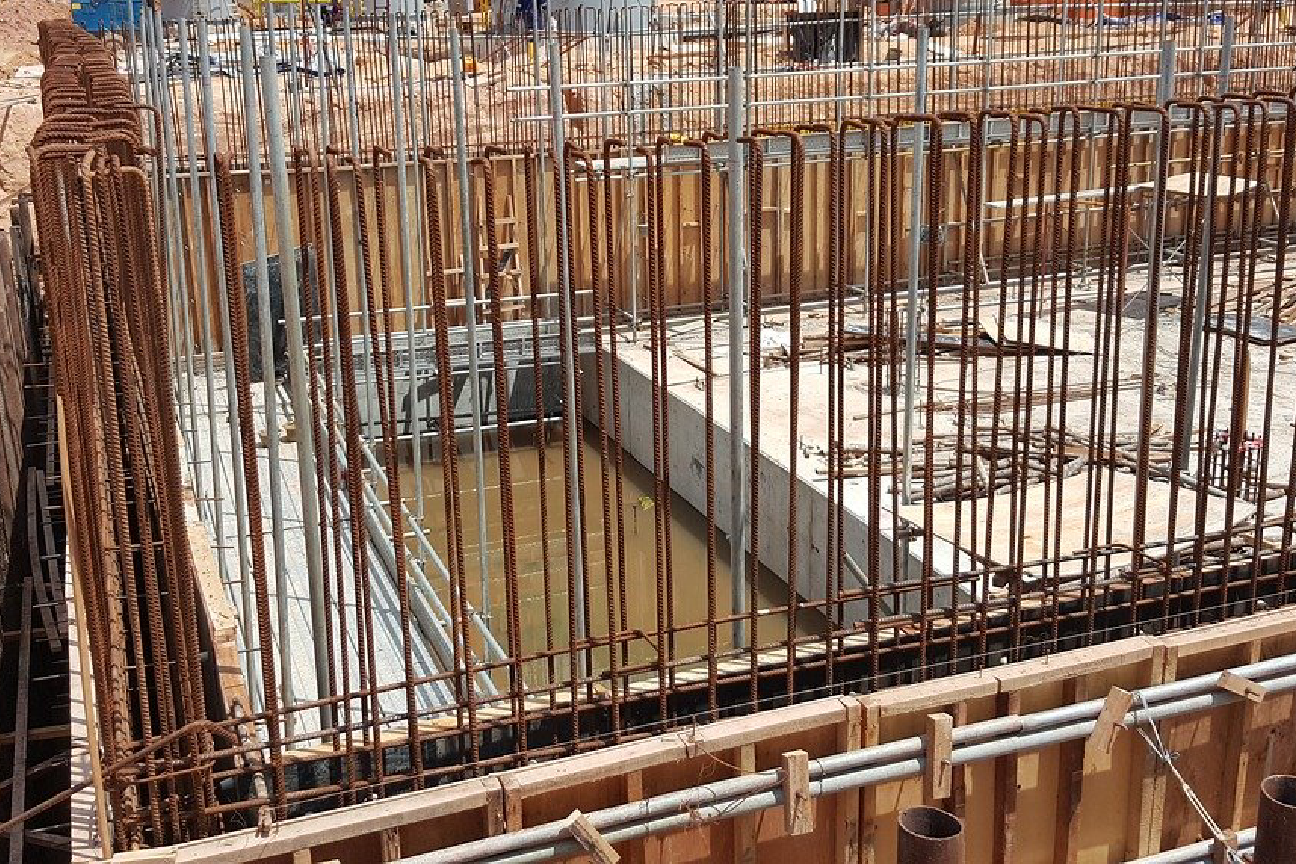
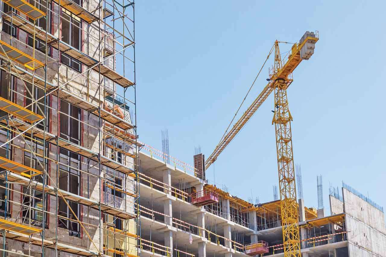
At GEOPLAN (EA) Ltd, we offer end-to-end building construction services that blend architectural excellence, structural integrity, and sustainable design.
At GEOPLAN (EA) Ltd, we offer end-to-end building construction services that blend architectural excellence, structural integrity, and sustainable design.

At GEOPLAN (EA) Ltd, we provide specialized mechanical works contracting services that form the backbone of efficient, safe, and modern building and infrastructure systems.
At GEOPLAN (EA) Ltd, we provide specialized mechanical works contracting services that form the backbone of efficient, safe, and modern building and infrastructure systems.

GEOPLAN (EA) Ltd. provides specialized electrical contracting services that power infrastructure, buildings, and industrial systems across East Africa.
GEOPLAN (EA) Ltd. provides specialized electrical contracting services that power infrastructure, buildings, and industrial systems across East Africa.

GEOPLAN (EA) Ltd is a licensed and experienced mining services provider actively engaged in mineral exploration, extraction, and mine development across East Africa.
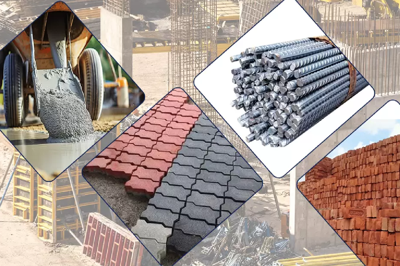
At GEOPLAN (EA) Ltd., we offer a reliable and efficient building materials supply service tailored to meet the demands of the construction and infrastructure development sector.
At GEOPLAN (EA) Ltd., we offer a reliable and efficient building materials supply service tailored to meet the demands of the construction and infrastructure development sector.
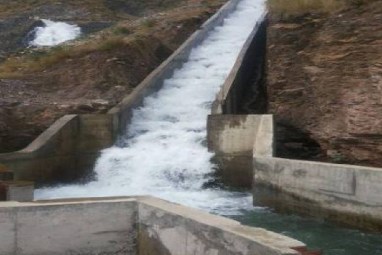
In irrigation and water supply schemes the company offers Survey Services in the aspects of Topographical Survey, Soil Survey and Geo-Technical Investigation.
In irrigation and water supply schemes the company offers Survey Services in the aspects of Topographical Survey, Soil Survey and Geo-Technical Investigation.

Geoplan executes Cadastral Surveys and where necessary offers professional advice on the legal procedures towards attaining the right of occupancy of Land parcels.
Geoplan executes Cadastral Surveys and where necessary offers professional advice on the legal procedures towards attaining the right of occupancy of Land parcels.
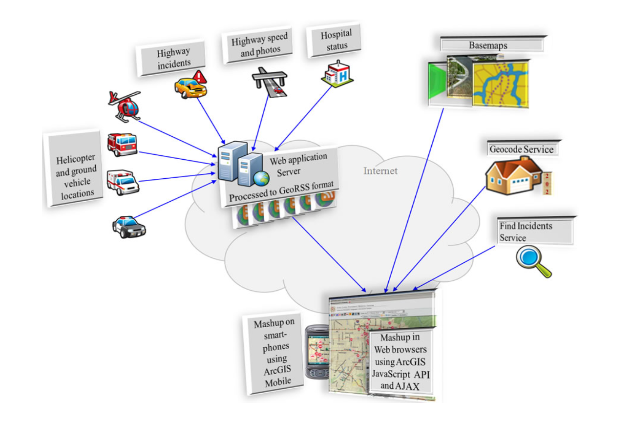
The company offers services in management and information system for both spatial and non-spatial data.
The company offers services in management and information system for both spatial and non-spatial data.
Geoplan’s Infrastructure division offers a wide range of professional Topographical surveying services tailored to the needs of the design and construction industries.
Geoplan’s Infrastructure division offers a wide range of professional Topographical surveying services tailored to the needs of the design and construction industries.
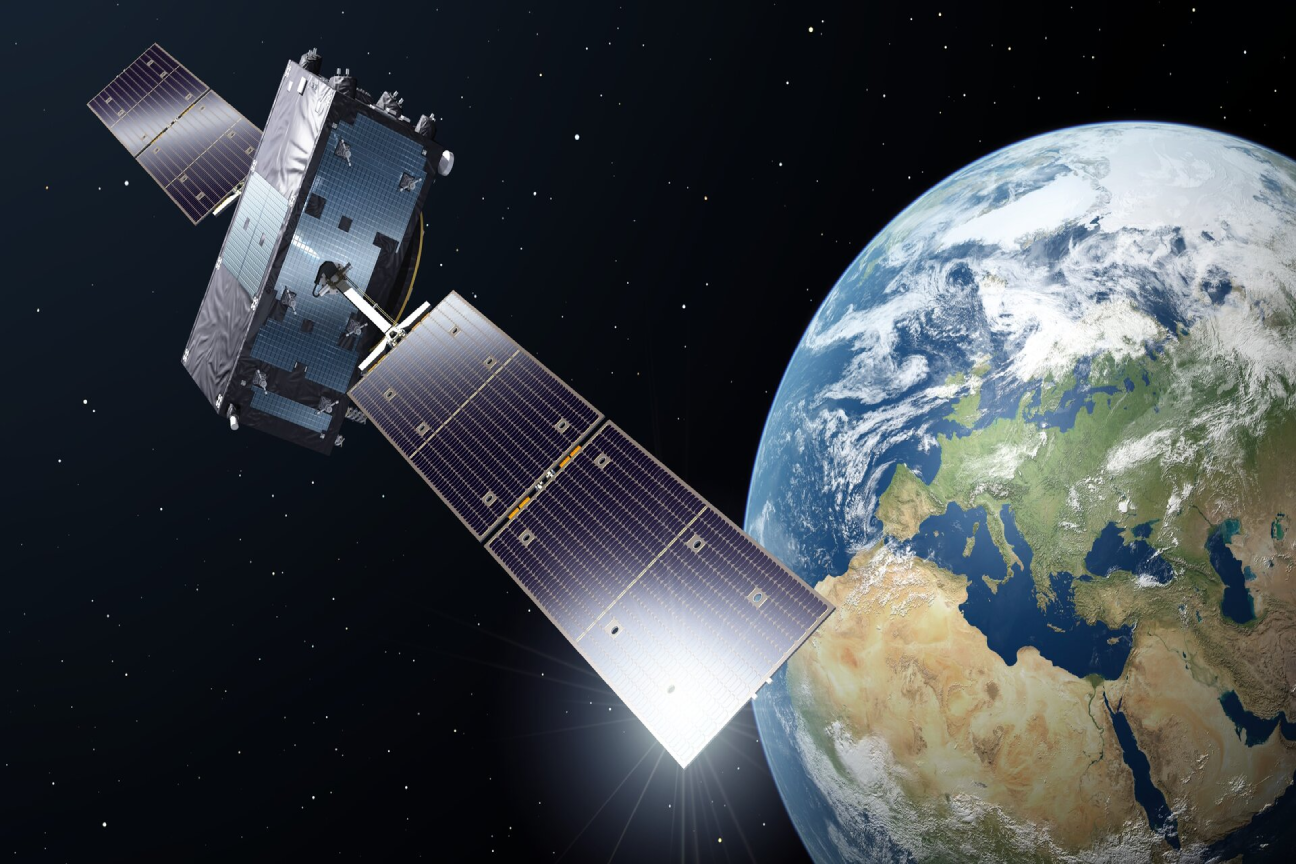
We use the modern GNSS Technology for control establishment and for surveying of large farms.
We use the modern GNSS Technology for control establishment and for surveying of large farms.

We use the modern Drone and Lidar technology for data acquisition and apply Digital<br />
Work Stations for post Processing
We use the modern Drone and Lidar technology for data aquisition and apply Digital
Work Stations for post Processing
Work Stations for post Processing
 “ At GEA Our greatest asset is our team of reputable professional and knowledgeable personnel, who through hard work, enthusiasm, commitment, and courtesy, tirelessly keep our firm continuously growing.